
Roads Less Traveled
When one comes into our hometown, there are indicators that tell the location such as highway numbers, a “Welcome to North Carolina” sign, “Murphy City Limits” on steel post, maybe even 35.0876° N, 84.0346° W on a GPS, the latter being the longitude and latitude of Murphy.
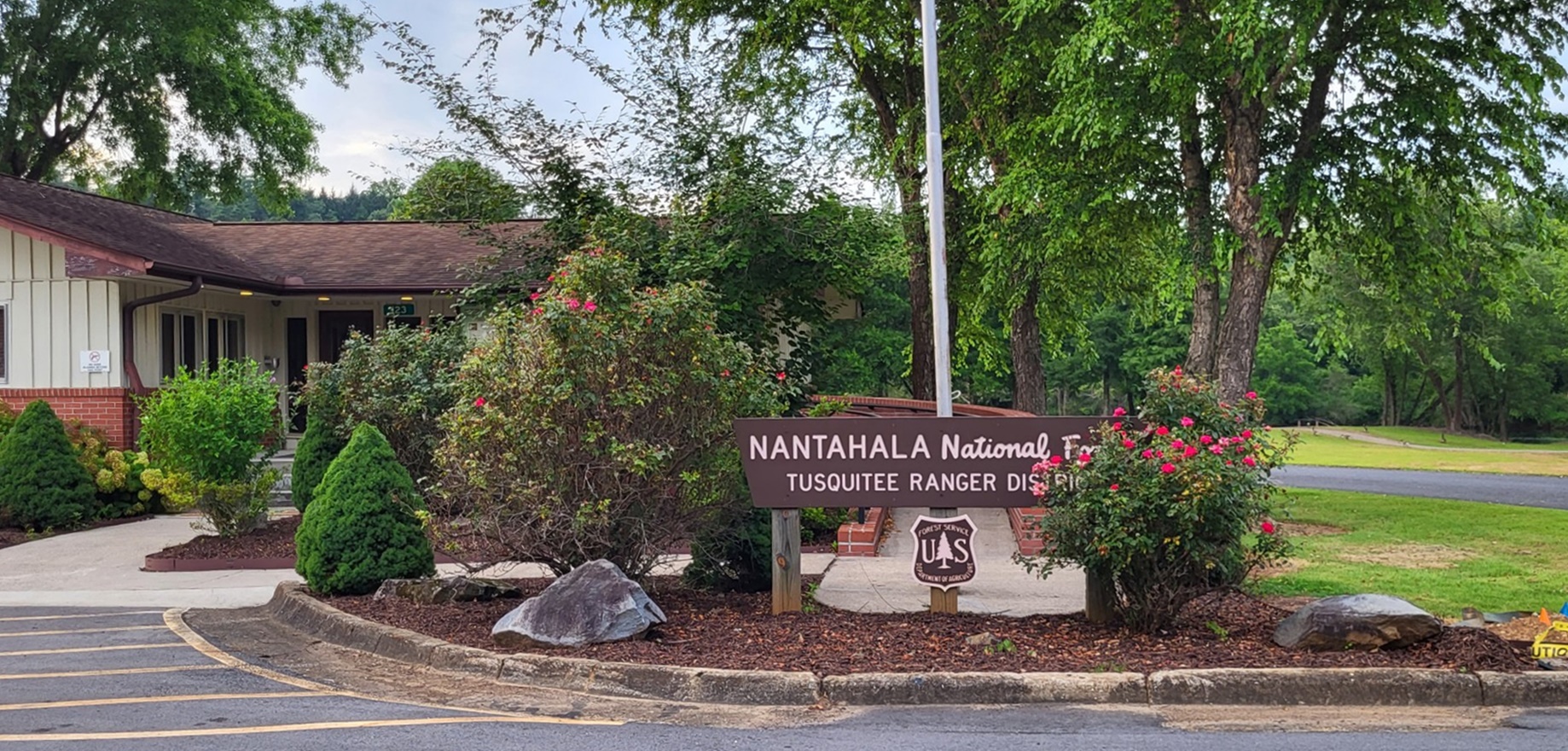
But there is another locator that is sparse in its signage but a significant presence in our area. We live within the Tusquitee district of the Nantahala National Forest.
Tusquitee translates from the Cherokee language as “where the water dogs laughed.”
The Nantahala National Forest encompasses 531,148 acres of western North Carolina and is divided into three districts – Cheoah headquartered in Robbinsville, Nantahala district based in Franklin and Tusquitee in Murphy. The Tusquitee district encompasses all of Cherokee and Clay counties.
The Nantahala National Forest was formed in 1920 and is managed by the U.S. Forest Service, but the Forest Service beginnings can be traced to the 1880s.
The large timber companies were doing their best to strip America of its large forests in the 1880s. Their unrestricted cutting had already turned most of the Northern forests into land no one wanted once the timber had been stripped away. The mess they left became tinder for fires, resulting in serious erosion, that in turn endangered rivers. They left little behind to prevent fire, river damage and flooding.
At that same time, a forestry book by Franklin Benjamin Hough theorized the decline of Europe was in part because they had cut down their forests faster than they could grow new trees. It appeared that the United States was following their example. Hough was appointed to head a new governmental department, the Division of Forestry.
In 1891, the government enacted the Forest Reserve Act, giving the president the power to set aside public land to protect watersheds. In 1907, these protected watersheds would be renamed National Forests.
In 1900, the Secretary of Agriculture was allocated $5,000 to “investigate the forest condition in the Southern Appalachian Mountain Region of western North Carolina and adjacent states.”
Much attention was given to western North Carolina in part because George Vanderbilt purchased 100,000 acres of cut over land near his Biltmore estate and replanted it to restore the land. That experiment, the Biltmore Forest, would become known as the Cradle of Forestry, and in 1898 Vanderbilt would establish Biltmore Forestry School, the nation’s first forestry school, headed by Gifford Pinchot.
In 1905, Pinchot would be named head of a new government agency under the Department of Agriculture, the U.S. Forest Service.
The effect of indiscriminate logging and how it affected rivers hit home in 1907 with the flooding of the Monongahela River, which caused an estimated $100 million in damage and flooded Pittsburg.
Congress’ response came four years later, in 1911 with the Weeks Act, authorizing the federal government to purchase and maintain private lands as national forests, as well as provisions for fighting forest fires, and stipulating land must be purchased, not taken by eminent domain.
The lands would be purchased from timber companies, and private individuals who were willing.
The first purchase by the Forest Service would be 18,000 acres in McDowell County at $5.41 per acre, now a part of Pisgah National Forest. Another 86,000 acres were purchased from Edith Vanderbilt for $5 an acre, of which, in honor of her late husband George, she accepted $200,000 less.
In 1920, the lands acquired in far-western North Carolina would be designated the Nantahala National Forest, the largest of North Carolina’s four national forests. At that time, that included lands in adjoining states but was later reorganized to be within North Carolina’s borders.
In 1924, the production of timber was added to the goals of the U.S. Forest Service’s mandate, with the goal of utilizing a renewable resource that would ensure woodlands, preserved watersheds and lumber for future generations.
With the coming of the Great Depression, many private farmers simply walked away from failing farms, giving the Forest Service the opportunity to obtain even more land for incorporation into national forests.
During this time, 24 Civilian Conservation Corps camps were established in North Carolina national forests, including several in our area, creating parks, improving roads and bridges, and planting millions of trees.
Eventually, the Nantahala National Forest would be broken down into today’s three districts, all within the boundaries of North Carolina. Our district, Tusquitee, includes all National Forest land in Clay and Cherokee counties, including 18,000 acres turned over to the National Forest Service in the 1940s by the Tennessee Valley Authority.
The U.S. Forest Service is under the Department of Agriculture rather than the National Park Service, supporting the idea that national forest resources are to be used, not merely preserved. Today, our Nantahala National Forest is one of 154 national forests comprising 193 million acres, including much of Cherokee County.
Among the facilities managed by the U.S. Forest Service locally are the Seed Orchard, Panther Top Tower, a shooting range, biking trails at Ramsey Bend, Jack Rabbit campground and the Bristol Field Horse Camp with riding trails in Fires Creek.
The Forest Service once oversaw Hanging Dog Campground in Cherokee County but closed everything except for the boat ramp area, much to the dismay of residents who used the campground regularly.
David Stiles, who retired after 30 years with the Forest Service, summed up the closing differently. He said, “Remember there is a right way to do things, a wrong way to do things and the U.S. Forest Service way of doing things.”
Where the Water Dogs Laughed, The Tusquitee District of the Nantahala National Forest, we also know as a third name. We know it as home.
Bruce Voyles’ local history column runs every other week in the Cherokee Scout. Email him at RoadsLessTraveled@cherokeescout.com.