
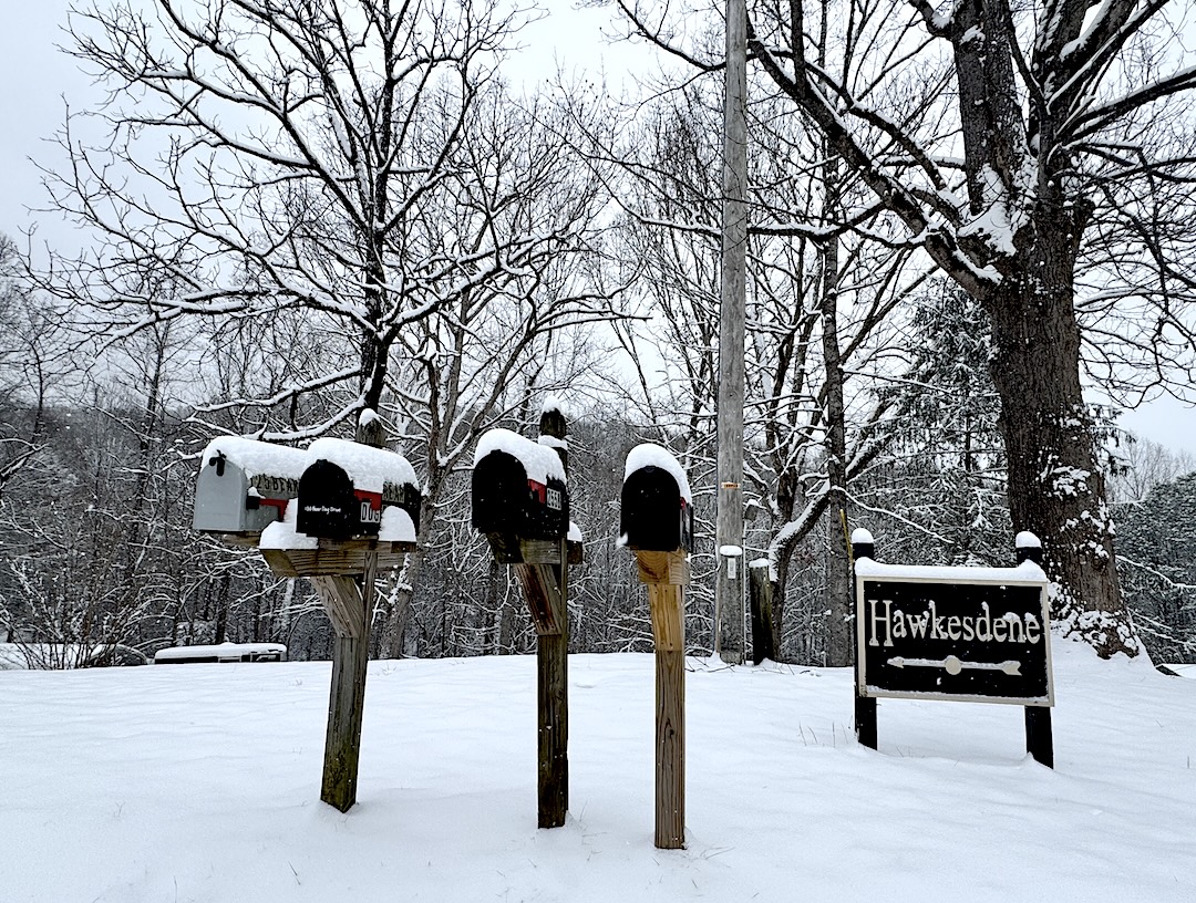
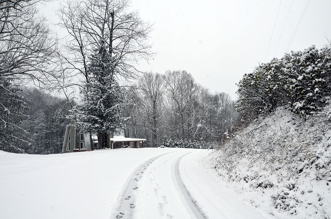
Andrews – After dodging major named storms including Hurricane Helene and last weekend’s winter storm, Fern, Cherokee County actually got significant impacts from a storm powerful enough for The Weather Channel to name it.
Winter Storm Gianna is underway in the South, bringing heavy snow to the Carolinas and parts of Georgia before it pivots offshore and deepens into a powerful bomb cyclone that could bring blizzard conditions to the coasts of North Carolina and Virginia, according to The Weather Channel.
“North Carolina Highway Patrol reports roads are freezing back right after NCDOT scrapes them,” Cherokee County Emergency Management said in a statement released around 9 a.m. Saturday. “We have had multiple motor vehicle accidents in the area this morning. Highway Patrol is asking everyone that can to stay off the roads.”
Emergency Management issued a statement at 7 p.m. reporting roads covered with snow and advising residents to stay home.
In its evening update released Friday, Cherokee County Emergency Management Public Information Officer Bobby Barton stated:
“A WINTER STORM WARNING was issued for Cherokee County by the National Weather Service on Thursday, January 29. Also on Thursday, Governor Stein issued a Declaration of State of Emergency for North Carolina.
“From the National Weather Service Office in Morristown, Tennessee at 1:43 PM today (Friday):”
Bottom Line Up Front:
• Accumulating snowfall is likely by this evening through Saturday evening. Best chance for significant snow is in the East Tennessee mountains and foothills, and along the I-81 corridor into northeast Tennessee and southwest Virginia.
• A very cold air mass will be in place Friday night through Sunday night. Wind chills below zero are likely in higher terrain and single digit to near zero degrees in the East Tennessee Valley and elsewhere.
What Has Changed:
• Hamilton and Sequatchie counties have been added to the Winter Weather Advisory
• The Extreme Cold Watch has been upgraded to a Extreme Cold Warning
Confidence:
• High confidence for impactful snow in the Winter Storm Warning area.
• Medium confidence on exact snow amounts
• High confidence in period of very cold weather.
“The North Carolina Department of Transportation is working to prepare roadways in advance of the onset of snow.
Several Warming Stations have been identified across Cherokee County to open should the need arise. The Warming Stations are intended for short-term use if your heat source is not working or another emergency situation exists. NO WARMING STATIONS ARE CURRENTLY OPEN.
“A Red-Cross approved Shelter may be opened if needed. NO SHELTERS) ARE CURRENTLY OPEN.”
Statewide
N.C. Gov. Josh Stein shared guidance and developments on the state’s response to the winter storm impacting North Carolina.
“Today is bringing snowfall across our state,” he said. “Our transportation, public safety, and emergency management teams are positioned and working to keep people safe, and I’m grateful for their continued efforts. Stay home and off the roads, grab a sled, and enjoy the winter fun.”
Stein declared a State of Emergency on Thursday to help North Carolina qualify for federal assistance if it is needed. The State Emergency Response Team has been activated ahead of the storm’s arrival to assist affected communities with any response needs.
“A major winter storm is underway, with snow falling across much of the state,” Stein said. “Widespread snowfall totals of 3-8 inches are forecast Saturday through midday Sunday. Some locations may experience low-end snow totals, while others see locally significant amounts of 8-12 inches or more, particularly where heavy snow bands develop. Snowfall is forecast to end from west to east as low pressure exits the region by mid-day Sunday. A Winter Storm Warning remains in effect across NC through Sunday.
“Very cold temperatures and strong wind gusts are expected Saturday into Sunday,” he said. “Daytime wind chills Saturday will dip into the single digits and teens, and below zero wind chills are forecast overnight statewide. Wind gusts of 25-45 miles per hour are possible across central North Carolina, with stronger gusts of 55-65 miles per hour across the mountains, and 55-70 miles per hour or higher along the coast. High winds will also lead to moderate to locally significant coastal flooding of 2-4 feet above ground level along much of the coast. Strong winds will likely reduce visibility from blowing/drifting snow and could lead to brief blizzard conditions, especially within heavy snow bands. Avoid travel as hazardous driving and white out conditions are likely.
“We will continue to see winter storm impacts in many communities across the state today and through tonight, so all North Carolinians need to remain weather aware and stay off the roads, if possible,” said NC Emergency Management Chief of Staff Don Campbell. “In addition to today’s snowfall, we will see dangerously low temperatures which requires you to have a plan in place to stay warm and safe tonight.”
For resources in your community, monitor your local emergency management website, social media accounts (Cherokee County Emergency Management here), and visit ReadyNC.Gov/WinterStorm2026.