
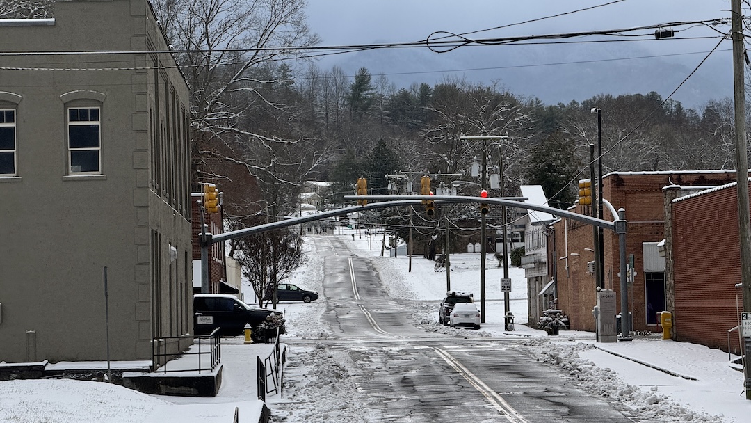
Murphy – Cherokee County needs to gear up once again for wintry weather starting Friday afternoon, weather forecasters say.
Cherokee County Emergency Services will be issuing updates ahead of and during the storm. Here is the update issued on Thursday evening:
**Information updates will be posted as needed on the Facebook page: Cherokee County, NC Emergency Management**
A WINTER STORM WARNING was issued for Cherokee County by the National Weather Service at 12:51 pm this date. From the National Weather Service Office in Morristown, Tennessee at 2:56 PM:
Forecast from National Weather Service is as follows:
- Winter Precipitation could start Friday afternoon
- Accumulating snowfall likely
- Very cold, starting Friday night through Sunday night.
- Predicted Snow accumulation from 1” -5”, with 2” being most likely.
- Predicted to be a snow only event with no Ice in the forecast.
- No widespread power outages expected
Several Warming Stations may be identified across Cherokee County to open should the need arise. The Warming Stations are intended for short-term use if your heat source is not working or another emergency situation exists. NO WARMING STATIONS ARE CURRENTLY OPEN.
Should the need arise, a Red-Cross approved Shelter may be opened. NO SHELTER(S) ARE CURRENTLY OPEN.
The next weather update from Cherokee County Emergency Management will be Friday, January 30 at 4:00 PM.
The Winter Storm Warning is expected to remain in effect until 7 p.m. Saturday. The National Weather Service also issued a Cold Weather Advisory to take effect at 5 a.m. Saturday and expire at 1 p.m. Sunday.
Accuweather is predicting temperatures to dip to 22 degrees tonight, with Friday's high at 44 degrees and low at 18 degrees with a 25% chance of rain. Saturday's high is predicted at 21 degrees with a low of 3 degrees and a 65% chance of snow overnight Friday and through much of the day Saturday. No precipitation is expected Sunday but temps are expected to be cold, with a high of 30 degrees and a low of 5 degrees.
Next week's highs are expected in the 40s with lows mostly in the 20s and continuing possibility of snow or wintry mix.